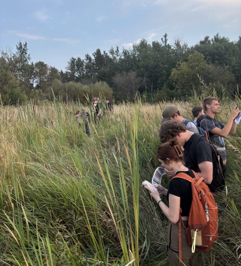
Completion of this program will provide students with a credential that is in high demand in many different disciplines and industries, such as business, natural resources, environmental sustainability, and public health and safety. The program provides versatile skills including: field-based primary data collection using a variety of survey and global positioning devices; hands-on experience with geographic information systems including ESRI’s suite of tools (e.g., ArcGIS Pro); the basics of map making and analysis; spatial data management; and advanced skill development in interpretation of remote sensing data (satellite imageries, aerial photographs, drones), spatial statistics, and geospatial modeling/programming.
Students may pursue this program in the context of their major by completing discipline-specific projects in the GIS courses. A GIS certificate and minor also are available.
